Heightmap terrain
Shape.Heightmap is OpenSCAD’s surface(): a rectangular grid of heights becomes a
closed solid — the grid as the top surface, a flat base, and perimeter walls sharing
the boundary vertices, so the mesh is manifold by construction. It is a mesh-backed
shape (Shape.From under the hood): booleans, transforms, and the implicit route all
work; B-Rep is honestly Impossible (meshes cannot be imported into B-Rep).
// A procedural dune field; any double[,] works - computed, read from an OpenSCAD// .dat text matrix (Heightmap.ReadDat), or from a grayscale/colour PNG (Heightmap.ReadPng).var heights = new double[40, 40];for (int r = 0; r < 40; r++)    for (int c = 0; c < 40; c++)        heights[r, c] = 3            + 1.5 * Math.Sin(c * 0.35) * Math.Cos(r * 0.3)            + 0.8 * Math.Sin((c + r) * 0.2);
var terrain = Shape.Heightmap(heights, cellSize: 1.5);
var scene = new Scene();scene.Add(new Part("terrain", terrain, Palette.Sage));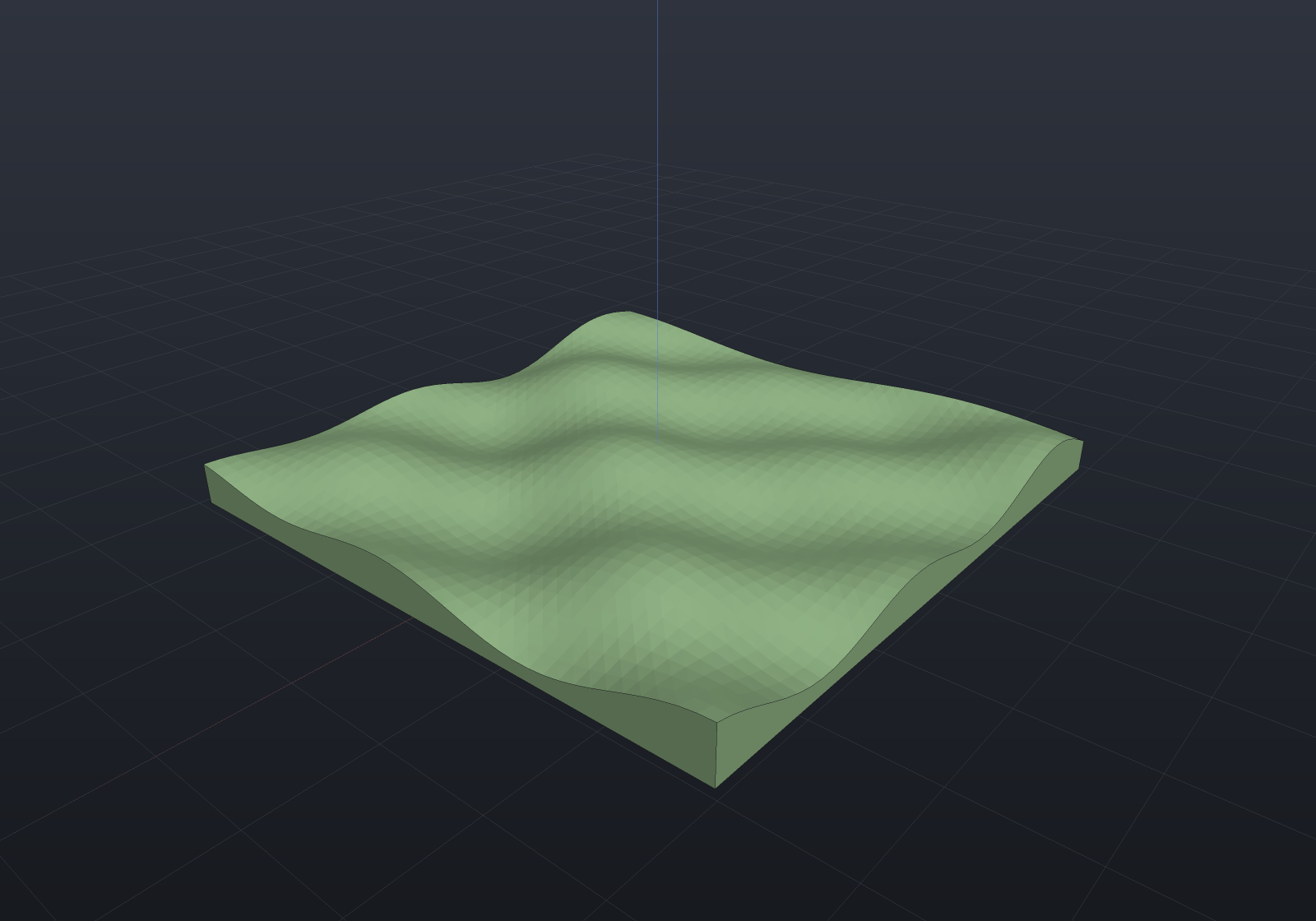
Where the heights come from
- Your own
double[,]—heights[row, column], columns along +X and rows along −Y (image order, so a picture lands the way it looks). Every height must sit strictly above the base level. Heightmap.ReadDat(path)— OpenSCAD-style text matrices: one row of numbers per line,#comments and blank lines skipped.Heightmap.ReadPng(path)— an 8- or 16-bit PNG (alpha ignored), values normalized to 0..1. A grayscale pixel reads its own value; a colour pixel (truecolor RGB/RGBA) reads its Rec. 709 relative luminance0.2126·R + 0.7152·G + 0.0722·B— the physically-correct luminance from the sRGB primaries, a documented rule rather than an inferred one (a grey pixel reads its own value, since the weights sum to 1). The reader is hand-rolled and dependency-free, like the TrueType reader; Adam7-interlaced files decode too (each of the seven passes is its own scanline-filter stream at reduced dimensions, verified against a twin encoder — the interlaced and straight spellings of one raster must read back bit-identically), palette (indexed-colour) PNGs are rejected with a clear message rather than mis-read, and a corrupt critical chunk is named by its CRC-32. Pair it withheightScaleto give normalized data its real peak height:
var terrain = Shape.Heightmap(Heightmap.ReadPng("relief.png"), cellSize: 2, heightScale: 120);Terrain is a shape like any other
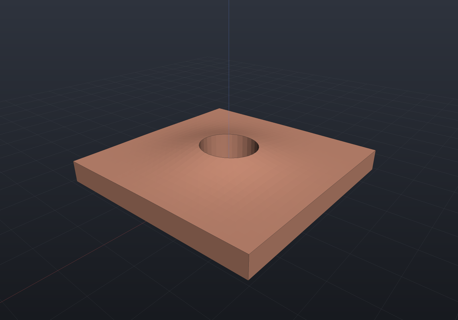
Cut a core sample, drape a footprint, or intersect with a boundary — the mesh boolean route handles it:
var heights = new double[30, 30];for (int r = 0; r < 30; r++)    for (int c = 0; c < 30; c++)        heights[r, c] = 3 + 2 * Math.Exp(-((c - 15.0) * (c - 15.0) + (r - 15.0) * (r - 15.0)) / 60.0);
var hill = Shape.Heightmap(heights, cellSize: 1);var cored = hill - Shape.Cylinder(4, 20).Translate(0, 0, 8);
var scene = new Scene();scene.Add(new Part("cored hill", cored, Palette.Copper));